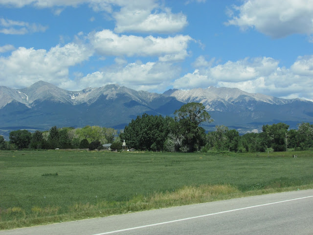
We tried to choose the clearest day of the week for our drive up to Monarch Pass. On this day trip, we had good weather, saw fantastic mountain scenery and enjoyed a tasty lunch in Salida too.
From Canon City, we traveled west on US Hwy 50 through Salida, to reach the Monarch Pass area.
The views of the Rocky Mountains are especially clear on this day even though the clouds started to build.
We stopped at the Ploughboy in Salida for a good deli style lunch.
With our tummies full, we're ready to continue our trip. Highway 50 West passes by the old Madonna mine. Ore containing silver and lead was mined here. It's also listed as part of an old Colorado ghost town.
Ron notices in his rear view mirror, coming up fast behind us in the passing lane, a Ferrari, 3 Porches, a Jaguar F-type and a Lamborghini. He tried to catch up with them in our Jeep..didn't happen. We finally caught up with them at the road construction stop. We think they were all traveling together. What a collection of sports cars!
Traveling westbound towards Monarch Pass, it is a 6% grade for approximately 10 miles.
We make it to the summit of Monarch Pass and the Continental Divide.
Out goal is to also ride the Monarch Pass Tramway.
The gondola ride was smooth and even a bit of fun. Once we arrived to the enclosed viewing platform on the summit, the scenery was just spectacular!
Monarch Summit..12,000 feet and the temperature was 53 degrees with a 25 mph breeze..gusts to 35 mph.
A view of the Monarch Pass Ski Slopes.
The enclosed viewing platform also has a walkway around it for easy 360 views. Inside there are visuals that describe all five mountain ranges.
Pikes Peak is visible this day yet it's hard to note in this photograph.
Mount Ouray is the far mountain on the right.
Mount Aetna is the far mountain on the left.
There were a variety alpine wildflowers on the summit.
I think this alpine wildflower is called Sky Pilot.
Our views during the gondola ride back down to the parking lot.
More views from the gondola.
Our drive back to Canon City on US Hwy 50 East travels through the Bighorn Sheep Canyon.
Again, a terrific road for more gorge scenery and whitewater rafting as the road follows the Arkansas River.
We enjoy traveling this road to get to the town of Westcliffe too.
Ron spotted a family of Rocky Mountain Bighorn Sheep as we traveled through the canyon this day. I had just enough camera battery left to capture one up close with the telephoto lens.
And this is what Little Boy does while we are out exploring Colorado.
More later.


No comments:
Post a Comment